|
Paper Plate Education
"Serving the Universe on a Paper
Plate"
Activity: Altitude Co-Altitude
Demonstrate how altitude (Ho) is the observed height
of a star or sun and how co-altitude (90°-Ho) is the complement of the measured
altitude. Also known as the zenith distance, co-altitude
equals ninety degrees minus the observed
height of the sighted star or the sun.

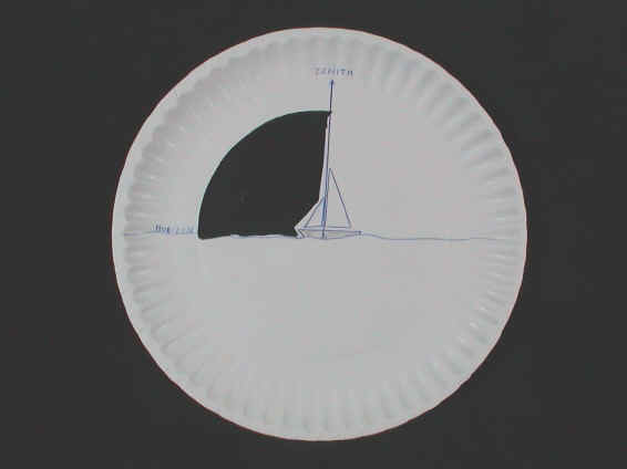
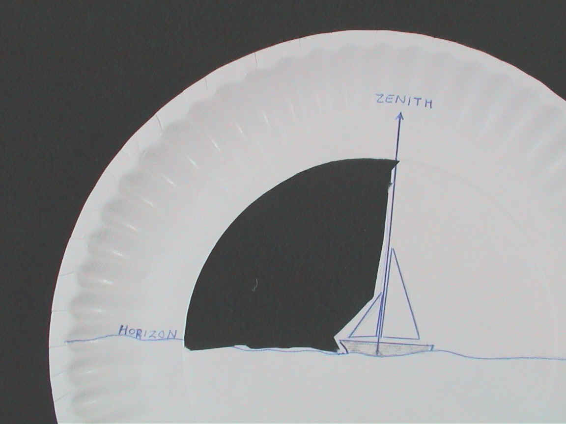
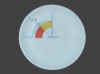
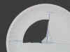 Make a horizon plate with window cut out as shown. The sailboat's mast
points to the zenith. The waterline defines the horizon.
Make a horizon plate with window cut out as shown. The sailboat's mast
points to the zenith. The waterline defines the horizon.
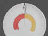
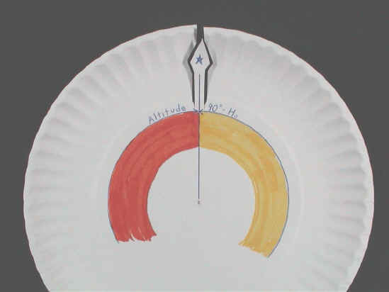
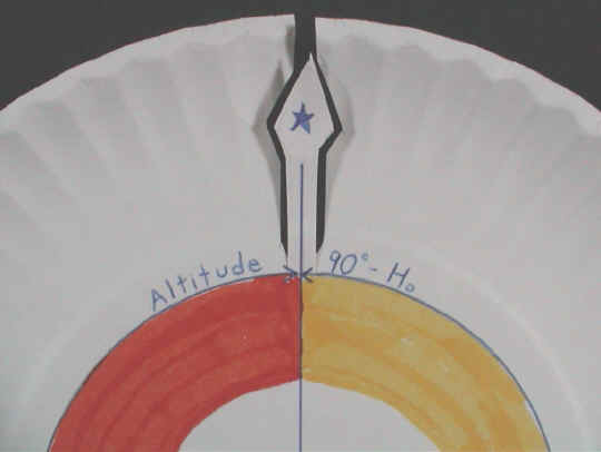
 Make a pointer plate as shown. Cut out the line of sight to the star
partway, from the edge of the plate to the colored arcs. Altitude (Ho),
the measured angle from the horizon up to the sighted object, is depicted with
the orange arc. Co-altitude (90°-Ho), the measured angle from
the zenith down to the sighted object, is depicted with the yellow arc.
Make a pointer plate as shown. Cut out the line of sight to the star
partway, from the edge of the plate to the colored arcs. Altitude (Ho),
the measured angle from the horizon up to the sighted object, is depicted with
the orange arc. Co-altitude (90°-Ho), the measured angle from
the zenith down to the sighted object, is depicted with the yellow arc.
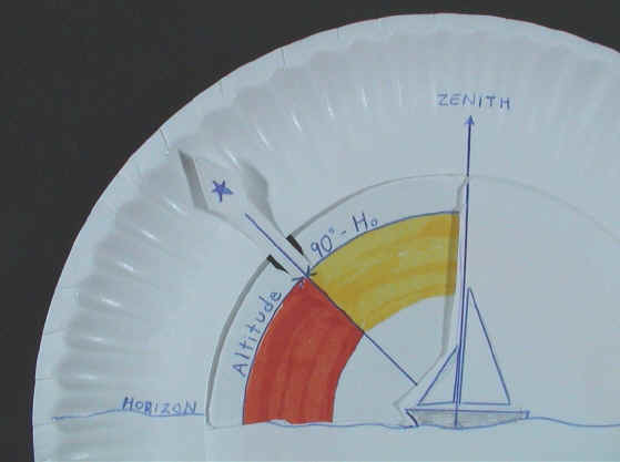
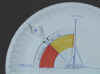 Combine the two plates as shown. The orange arc shows the altitude; the
yellow arc shows the co-altitude. To quantify with numbers what this plate
conveys visually, calibrate the edge of the plate from horizon to zenith
Combine the two plates as shown. The orange arc shows the altitude; the
yellow arc shows the co-altitude. To quantify with numbers what this plate
conveys visually, calibrate the edge of the plate from horizon to zenith
Contributed by Chuck Bueter.
|