|
Paper
Plate Education
"Serving the Universe on a Paper Plate"
Paper
Plate Astronomy
Videotape/DVD/Streaming Video
|
Now available for
free
in streaming video!
Click the activity name (right)
to view the clip. |
|
The
Great Lakes Planetarium Association (GLPA), with support from the Office of
Space Science, produced a 70-minute video which
demonstrates the
construction and use of nine paper plate activities and variations (descriptions
listed below). If
you cannot view the free streaming video through the links above, you
may preview the video
either by selecting an activity and viewing excerpts of pictures and
instructions, or
by reading the text-only narration for each
activity.
Members of the GLPA can
request a free copy of the video from the GLPA "slide bank" while supplies last. GLPA members and non-members alike can order
Paper Plate Astronomy as a VHS videotape or as a DVD
for $14.00 plus $3.00 shipping. It must be noted that, for only
$20.00, membership in GLPA
with all of its many benefits is a great value.
Excerpts
(Click a title to go to detailed descriptions and
accompanying images.)
Descriptions
(Click a
title to go to the respective activity; click a thumbnail image to enlarge the
plate.)
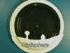
Sunrise
Sunset
 Draw
a local horizon around the perimeter of a plate. Over several months, track the changing position of the
sunrise or sunset against the local background.
Draw
a local horizon around the perimeter of a plate. Over several months, track the changing position of the
sunrise or sunset against the local background.
Satellite
Tracking Bowl
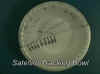 Plot
the predicted passes of satellites onto a bowl which you can take outside as a
viewing aid.
Plot
the predicted passes of satellites onto a bowl which you can take outside as a
viewing aid.
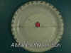
Sub-Solar
Cup
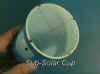 Indicate
in real time the position on the earth at which an observer can see the sun
directly overhead. This allows the
user to track the changing position of the sun between the tropics and to trace
out and define the analemma.
Indicate
in real time the position on the earth at which an observer can see the sun
directly overhead. This allows the
user to track the changing position of the sun between the tropics and to trace
out and define the analemma.
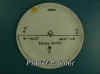
Altitude
Measurer
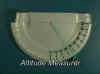 Make
an astrolabe-like device that allows you to measure the altitude of celestial
objects.
Make
an astrolabe-like device that allows you to measure the altitude of celestial
objects.
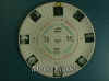
Platisphere
 Make
a device that reduces the sphere of stars to a paper plate.
With this tool you can accurately determine the positions of the
circumpolar stars for any given time and any given date.
This video shows several variations of the Platisphere,
including a children’s version, a tactile version for visually impaired users,
and the Photographic Plate, which
predicts the smear of stars (star trails) produced from a long duration exposure on film.
Make
a device that reduces the sphere of stars to a paper plate.
With this tool you can accurately determine the positions of the
circumpolar stars for any given time and any given date.
This video shows several variations of the Platisphere,
including a children’s version, a tactile version for visually impaired users,
and the Photographic Plate, which
predicts the smear of stars (star trails) produced from a long duration exposure on film.
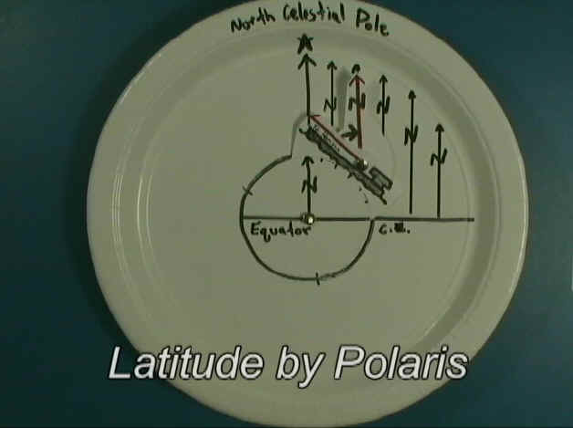
Latitude
by Polaris
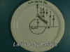 Illustrate
how navigators used the North Star to determine their position, correlating the
observed altitude of Polaris with the navigator’s latitude.
Illustrate
how navigators used the North Star to determine their position, correlating the
observed altitude of Polaris with the navigator’s latitude.
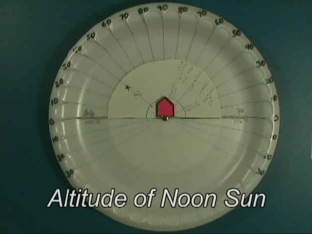
Altitude
of the Noon Sun II
 Demonstrate
the range of the sun’s altitude through the seasons for any given location.
This plate also conveys why the sun sometimes never rises in the far
north for months at a time.
Demonstrate
the range of the sun’s altitude through the seasons for any given location.
This plate also conveys why the sun sometimes never rises in the far
north for months at a time.
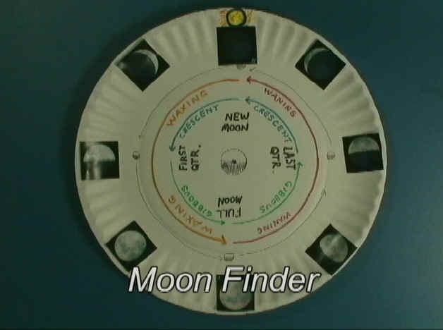
Moon
Finder
 Observe
and plot the moon’s phases and its position relative to the sun.
Then you make a model which can predict the position of any given moon
phase for any date and any time.
Observe
and plot the moon’s phases and its position relative to the sun.
Then you make a model which can predict the position of any given moon
phase for any date and any time.
 Plot the position of the planets in orbit around the sun
and make a device to transfer that model to the real night sky.
Essentially, your device shows you where to look to see the planets.
Plot the position of the planets in orbit around the sun
and make a device to transfer that model to the real night sky.
Essentially, your device shows you where to look to see the planets.
|